
Αρχείο:Arabian Peninsula (orthographic projection).png

Μέγεθος αυτής της προεπισκόπησης: 600 × 600 εικονοστοιχεία . Άλλες αναλύσεις: 240 × 240 εικονοστοιχεία | 480 × 480 εικονοστοιχεία | 768 × 768 εικονοστοιχεία | 1.024 × 1.024 εικονοστοιχεία | 2.000 × 2.000 εικονοστοιχεία.
Πρωτότυπο αρχείο (2.000 × 2.000 εικονοστοιχεία, μέγεθος αρχείου: 666 KB, τύπος MIME: image/png)
| Αυτό είναι ένα αρχείο απ' τα Wikimedia Κοινά. Οι πληροφορίες στη σελίδα περιγραφής της εκεί (συζήτηση · επεξεργασία) φαίνονται παρακάτω.
Οι χρήστες του Βικιεπιστημίου μπορούν να επεξεργαστούν αυτή τη σελίδα για συζήτηση, σχόλια και κατηγοριοποίηση. |
.png)
.png)
.png&action=edit)
Σύνοψη
| Περιγραφή |
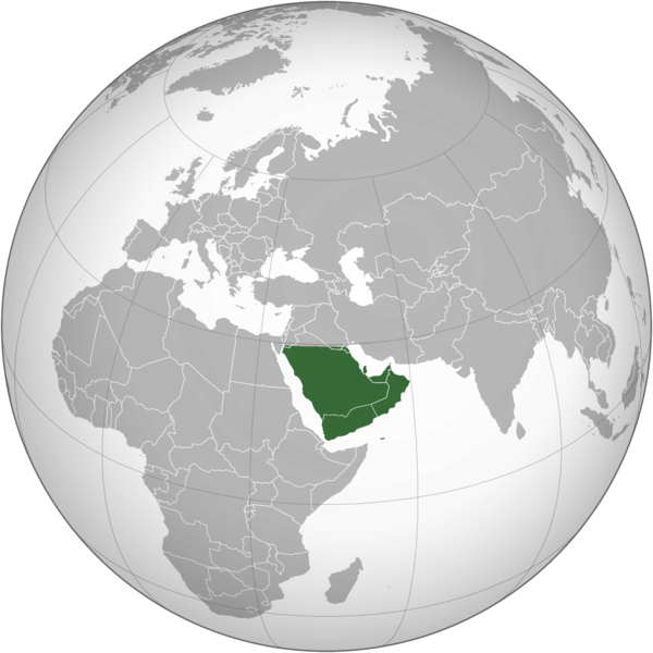
English: The Arabian Peninsula العربية: شبه الجزيرة العربية |
| Ημερομηνία | |
| Πηγή | Έργο αυτού που το ανεβάζει |
| Δημιουργός | Afrogindahood |
Αδειοδότηση
| This map is ineligible for copyright and therefore in the public domain, because it consists entirely of information that is common property and contains no original authorship. For more information, see Commons:Threshold of originality § Maps.
|
Ιστορικό αρχείου
Πατήστε σε μια ημερομηνία/ώρα για να δείτε το αρχείο όπως εμφανιζόταν εκείνη την χρονική στιγμή.
| Ημερομηνία/Ώρα | Μικρογραφία | Διαστάσεις | Χρήστης | Σχόλιο | |
|---|---|---|---|---|---|
| τρέχον | 14:14, 7 Μαρτίου 2023 | | 2.000 × 2.000 (666 KB) | Treetoes023 | Reverted to version as of 23:11, 6 January 2020 (UTC): This version shows the geographic Arabian Peninsula. |
| 21:24, 24 Ιανουαρίου 2020 |  | 2.000 × 2.000 (399 KB) | Ham105 | Reverted to version as of 03:49, 7 March 2015 (UTC) | |
| 23:11, 6 Ιανουαρίου 2020 |  | 2.000 × 2.000 (666 KB) | Sariyr | Reverted to version as of 22:23, 4 January 2020 (UTC): Northern border line between the Gulf of Aqaba and the Kuwait Bay. | |
| 04:06, 5 Ιανουαρίου 2020 |  | 2.000 × 2.000 (399 KB) | Ham105 | Reverted to version as of 03:49, 7 March 2015 (UTC) unsourced - take it to the discussion page | |
| 22:23, 4 Ιανουαρίου 2020 |  | 2.000 × 2.000 (666 KB) | Sariyr | Reverted to version as of 02:46, 4 January 2020 (UTC): Northern border line between the Gulf of Akaba an the Kuwait Bay. | |
| 15:37, 4 Ιανουαρίου 2020 |  | 2.000 × 2.000 (399 KB) | Ham105 | Reverted to version as of 03:49, 7 March 2015 (UTC) | |
| 02:46, 4 Ιανουαρίου 2020 |  | 2.000 × 2.000 (666 KB) | Sariyr | Northern border line between the Gulf of Akaba an the Kuwait Bay. | |
| 03:49, 7 Μαρτίου 2015 |  | 2.000 × 2.000 (399 KB) | Afrogindahood | User created page with UploadWizard |
Χρήση αρχείου
Η ακόλουθη σελίδα χρησιμοποιεί προς αυτό το αρχείο:
Καθολική χρήση αρχείου
Τα ακόλουθα άλλα wiki χρησιμοποιούν αυτό το αρχείο:
- Χρήση σε ar.wikipedia.org
- Χρήση σε arz.wikipedia.org
- Χρήση σε azb.wikipedia.org
- Χρήση σε bn.wikipedia.org
- Χρήση σε ckb.wikipedia.org
- Χρήση σε cs.wikipedia.org
- Χρήση σε en.wikipedia.org
- Χρήση σε fa.wikipedia.org
- Χρήση σε he.wikipedia.org
- Χρήση σε hy.wikipedia.org
- Χρήση σε hyw.wikipedia.org
- Χρήση σε id.wikipedia.org
- Χρήση σε it.wikivoyage.org
- Χρήση σε kn.wikipedia.org
- Χρήση σε mrj.wikipedia.org
- Χρήση σε pnb.wikipedia.org
- Χρήση σε ps.wikipedia.org
- Χρήση σε pt.wikipedia.org
- Χρήση σε sc.wikipedia.org
- Χρήση σε si.wikipedia.org
- Χρήση σε sl.wikipedia.org
- Χρήση σε sr.wikipedia.org
- Χρήση σε th.wikipedia.org
- Χρήση σε ur.wikipedia.org
- Χρήση σε uz.wikipedia.org
- Χρήση σε vi.wikipedia.org
.png)